Distances and travel time on a fantasy map
Travel time is plot. If a character crosses a continent in a weekend, readers notice, even when they cannot say why. A few approximate figures are enough to check.
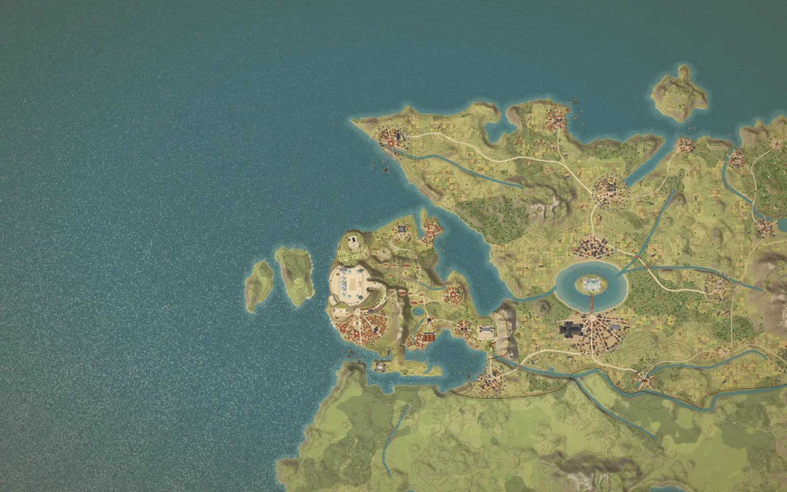
Start from the scale
Every map has a scale: a distance on paper stands for a distance in your world. Decide it early, write it on the map and keep it. If two cities are 300 km apart, the journey is 300 km, whatever the style of the map. A scale bar in a corner is the simplest way to stay honest.
Approximate speeds
| Way of travelling | Typical distance per day | Notes |
|---|---|---|
| On foot | 20 to 30 km | Good road, rested walker, light pack. Slower in hills, snow or mud. |
| Army on the march | 15 to 20 km | Large groups with supplies move slower than a lone traveller. |
| Horse at a steady pace | 30 to 50 km | Sustained over several days. A horse cannot gallop all day and needs rest. |
| Horse with changes of mount | 100 km or more | Relays of fresh horses, as couriers used. |
| Ox cart or heavy wagon | 15 to 20 km | Loaded wagons are slow, and the state of the road matters a lot. |
| River barge | Depends on the current | Downstream is much faster than upstream. |
| Sailing ship | 80 to 200 km | The wind decides. A calm can mean no progress at all. |
These figures are rough averages to start from, not rules. Terrain, weather, load and the state of the road all change them. Choose a pace for your world and keep to it.
How to check a journey
- Pick a journey from your manuscript and the time it takes.
- Measure the distance on the map with the scale.
- Divide the distance by the daily figure for that way of travelling.
- Compare the result with the time in the text, and change one of them.
Example: two cities are 300 km apart. On foot at 25 km a day, that is 12 days. A rider at 40 km a day needs about 8. If your chapter says three days by horse, the cities must be about 120 km apart, or the rider is using relays.
What slows travellers down
- Mountains: passes can be closed by snow for months.
- Rivers without bridges: fords flood and ferries keep timetables.
- Seasons: mud in spring, snow in winter, heat in summer.
- Supplies and rest: people and animals have to eat and sleep, and armies need food trains.
- Borders and tolls: travellers stop at checkpoints.
Seas and rivers
Water can be faster than land, which is why harbours become cities. A ship with a favourable wind can cover much more than a horse in a day, and with a contrary wind it can go nowhere. Rivers favour trade in one direction: goods float downstream, and the return upstream is slow.
Check it on the map in Mapella
In Mapella, the story thread (Universe plan) shows journeys against the map. In the demo, a character rides between two cities in two days, a trip that would take at least nine on foot. The guide to drawing the map of your novel shows where this check belongs in the process.
Questions
- How large should my map be?
- As large as the journeys in your story. Decide the longest journey first, convert it to kilometres with the table above, and size the land to fit.
- Do I have to use realistic speeds?
- No, but be consistent. If your world has fast horses or magic roads, set the speed once and use it everywhere.