Realistic geography for a fantasy map: the rules that matter
Readers rarely check your map against a geography textbook, but they feel it when a river runs uphill. A few rules of thumb keep a made-up world believable.
Water flows downhill, and rivers join
- A river starts in high ground, such as mountains, hills or a spring, and ends in a sea or a lake.
- Rivers merge into larger rivers far more often than they split. Splitting happens mostly near the mouth, where a river can form a delta.
- A river does not cross a mountain range. It runs along the foot of the range, or cuts through it where water has had thousands of years to carve a gorge.
- A lake is a basin. Rivers feed it, and a lake with an outlet drains into another river. A lake without an outlet tends to be salty.
Mountains form ranges
On Earth, mountains rise in chains and belts, not as scattered peaks. Draw ranges with foothills, valleys and passes, and let the tallest peaks sit in the middle of the chain. Isolated cones are mostly volcanoes.
Mountains shape the climate
Moist air that rises over a range cools and drops its rain on the windward side. The far side, called the rain shadow, is drier. This is why deserts and dry steppes often lie behind mountains. If a wet forest stands on one side of your range, a dry plain on the other side will look right.
Climate follows latitude and the sea
- It is warmer near the equator and colder toward the poles.
- Coasts are milder than interiors. Deep inland, summers are hotter and winters colder.
- On Earth, winds in the middle latitudes blow mostly from the west, so western coasts there tend to be wetter. Decide the prevailing wind of your world and let it drive the rain.
Where people live
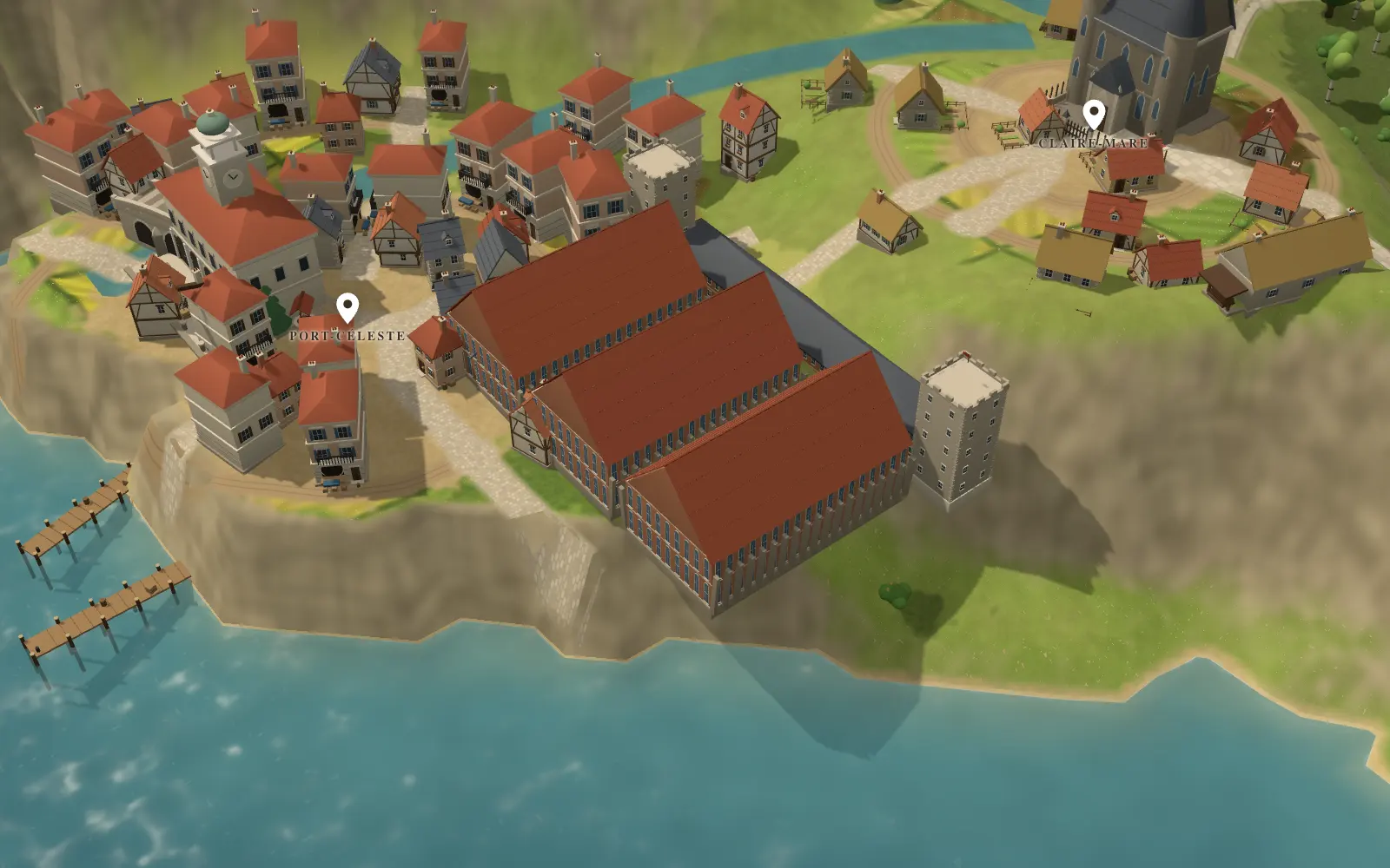
People settle near fresh water, fertile land and easy passage. Cities appear at river crossings, river mouths, sheltered harbours and road junctions. Capitals are not always at the centre of a country: many sit on a coast or a river, because that is where trade arrives.
If you place a city in an unlikely spot, such as the middle of a desert, give it a reason to exist: a spring, a mine, a pilgrimage.
Roads and borders
Roads follow valleys, rivers and mountain passes, and join cities that trade with each other. Borders often follow rivers and ridges, because these are easy to describe and to defend, but history can draw them anywhere.
Forests, deserts and marshes
- Forests need rainfall. The largest ones sit where the rain is steady.
- Deserts sit where little rain falls, often behind mountains or far from the sea.
- Marshes form on flat, low ground, often near the mouth of a river.
A checklist before you publish your map
- Does every river start in high ground and end in water?
- Do rivers join more often than they split?
- Are mountains grouped in ranges rather than scattered?
- Is there a reason for each desert, forest and marsh?
- Does every city have water, food or trade nearby?
- Do roads follow valleys and passes?
When your map passes, check the distances with travel times, then name your places.
Questions
- Does my fantasy world have to follow Earth’s rules?
- No. Magic, a different climate or floating islands are yours to invent. The advice is to know a rule before you break it, and to break it on purpose, so that the reader senses a choice and not a mistake.
- How can I check my map quickly?
- Trace each river from its source to its mouth with a finger. Then trace the road between two cities. If something forces a road to cross a mountain range in a straight line, redraw it.